Innovating Education with Geospatial Technologies
Welcome to Our Library
Discover how we revolutionize educational resources by integrating cutting-edge geospatial technologies to enhance learning experiences.


Contact Us
Anita Palmer | (214) 533-8376 | anita@gisetc.com
Barbaree Duke | barbaree@gisetc.com
Our Books
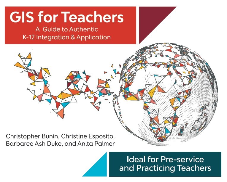
GIS for Teachers
From the author team of Chris Bunin, Christine Esposito, Barbaree Duke, and Anita Palmer, Carte Diem Press presents a text for pre-service teachers is designed to guide educators through a continuum of GIS resources and skill sets to best integrate GIS into a K-12 classroom. Grounded in real experience, free resources, and the ArcGIS platform, GIS for Teachers: A Guide to Authentic K-12 Integration and Application gives a comprehensive view into all aspects of the classroom and how GIS meets many needs and challenges facing educators today.
The book includes 10 chapters and access to a comprehensive resource center online, replete with ready-to-use handouts, rubrics, exercises, videos and more.
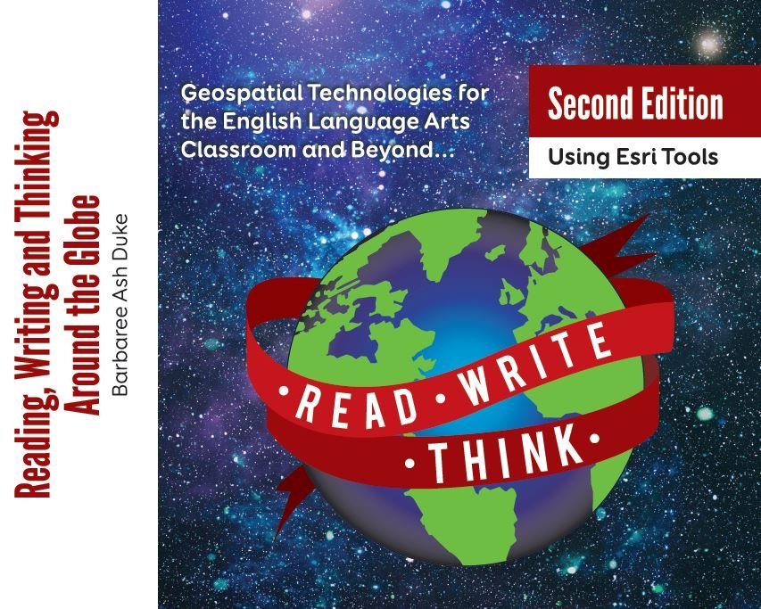
Reading, Writing & Thinking Around the Globe, 2nd Ed.
This pivotal book gives realistic ideas for implementing 21st Century tools into your classroom. Harness the power of online mapping, virtual globes and online content for studying and teaching authors, literature and writing! Spotlighted areas, reading and writing, foster ways to teach thinking in a tradition-laden subject. Ready-to-use lessons, practical ideas, suggestions on collaboration and research make this book a must-have for many classrooms.
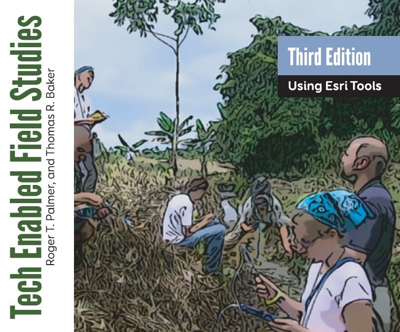
Tech Enabled Field Studies, 3rd Ed.
We created this resource for educators who want to do research with learners –typically classroom teachers working with their students in Earth Systems or Environmental Science, Geography, or History. The book would also be useful to those running outdoor education or field research programs for students of all ages; however, as the title suggests, we do focus on tech-enabled methods, tools, and analysis. Most of the content assumes that the research will be conducted outside or “in the field”. We believe it will provide powerful justification to include these projects in your classes. we believe this volume would make a great addition to any reference library on field research techniques.
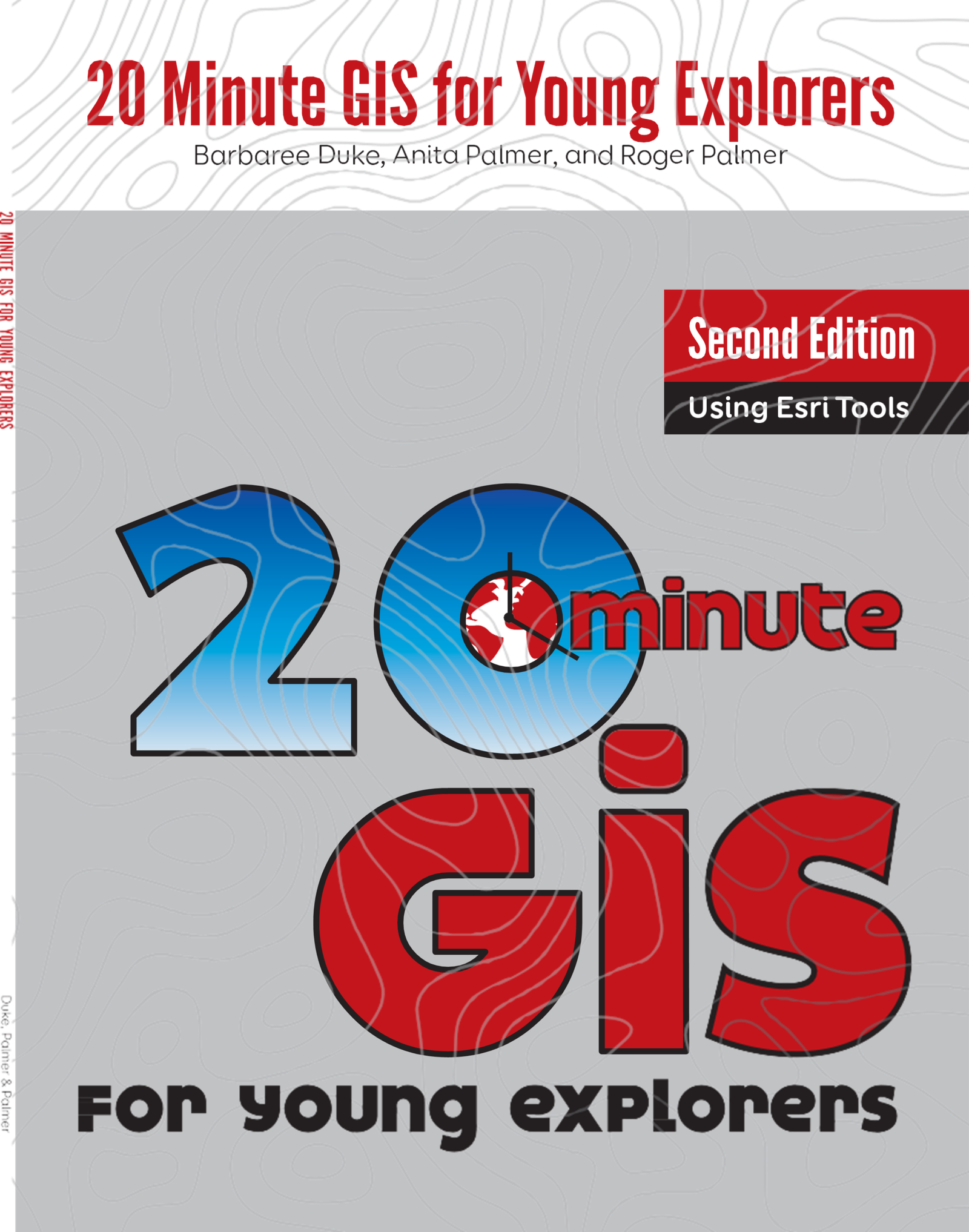
20 Minute GIS for Young Explorers, 2nd Ed.
Because Classroom Teachers… Want to add geospatial elements to their classroom. May have only one computer in the classroom. Have very little time in computer lab. Need to augment key concepts. Have minimal technology skills. Have minimal GIS skills. Have just 20 minutes to explore new technology. …we created 20 Minute GIS!
The book includes activities in math, science, lanugage arts, and social studies with free to access online maps.
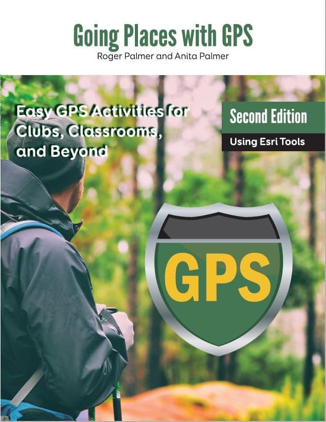
Going Places with GIS, 2nd Ed.
Going Places with GPS: Easy GPS Activities for Clubs, Classroom and Beyond is the first GPS book with fun and exciting lessons and activities that you can do with your GPS. Whether you are a classroom educator, after school club advisor, or a family who wants to get involved in outdoor activities, this book is for you. The book covers GPS use, activities, games, geocaching, EarthCaching, GIS and more!
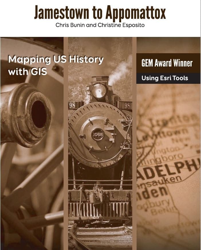
Jamestown to Appomattox: Mapping US History with GIS
From Jamestown to Appomattox, the team of Chris Bunin and Christine Esposito bring you student-tested GIS lessons ready for the classroom. Get students thinking about patterns and the whys of history with a focus on the geography and movement behind the historical story. They weave together maps, analysis and solid pedagogy to create a beautiful tapestry of lesson plans and resources for your students to expand their learning and engagement. The Virginia Geographic Alliance in partnership with Carte Diem Press brings you this one of a kind historical geography resource.
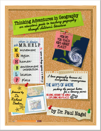
Thinking Adventures in Geography: an educator’s guide to teaching geography through children’s literature
See the world differently! This book provides elementary and middle school educators a guide to teaching geographic concepts through children’s literature. It includes a matrix of titles, standards and integral methods that enhance teaching geography and critical thinking grounded in reading and writing. Each section includes teacher instructions, activities and extensions to get beyond the borders of the classroom and think! It’s a must have for any teacher wanting to give students a passport to explore reading as a vehicle for a geographic adventure around the world.

Earth from Afar
Remote sensing is the art and science of recording, measuring, and analyzing information about a phenomenon from a distance. Humans with the aid of their eyes, noses, and ears are constantly seeing, smelling, and hearing things from a distance as they move through an environment. Thus, humans are naturally designed to be remote sensors. In order to study large areas of the Earth’s surface geographers use devices known as remote sensors. These sensors are mounted on platforms such as helicopters, planes, and satellites that make it possible for the sensors to observe the Earth from above. This book explores several case studies in full color! It’s the perfect addition to your introduction to Remote Sensing or Geography classes. Paul R. Baumann is Professor Emeritus of Geography at the State University of New York at Oneonta. His previous books include The American Landscape from the Air: Studying U.S. Geography with Aerial Photography, and, as editor, Up Close From Afar: Using Remote Sensing to Teach the American Landscape. He was a National Science Foundation Fellow with NASA’s Earth Resources Laboratory and the recipient of the National Council for Geographic Education’s Distinguished Teacher – Higher Education Award. He has published numerous articles on remote sensing in such journals as Geocarto International, Journal of Geography, and Photogrammetric Engineering & Remote Sensing.
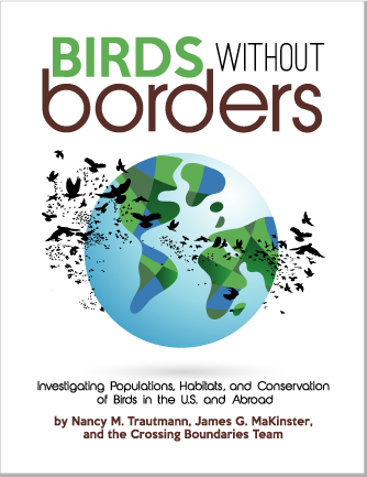
Birds without Borders
Are you looking for ways to build your students’ quantitative skills, engage them in critical reading and writing, and have them see the relevance of key science concepts in addressing real-world issues? In Birds Without Borders, students analyze spatial and quantitative data, examine trends, make predictions, create management plans, and present and defend their results. Non-fiction texts and multimedia resources provide context and background for scientific exploration of real-world biodiversity data and issues in settings ranging from local to international.
Birds provide compelling hooks to our local environment and links to foreign lands. They also provide essential ecosystem services, ranging from pollination and seed dispersal to garbage disposal and nutrient cycling. Birds Without Borders can be used as a module in biology, environmental science, general science courses, AP biology, or any other applicable science elective. The student readings and activities have been used successfully in courses ranging from seventh grade through advanced placement. This broad range is possible with differing types of scaffolding and levels of sophistication expected in data analysis and application of the results.
Inside the book you’ll find eight engaging investigations for students: 1 – Discovering the Ecological Roles of Birds (web-based videos); 2 – Exploring Habitat Needs of Nesting Birds (web-based GIS map); 3 – Determining Annual Life Cycles of Local Birds (eBird citizen science data) ; 4 – Modeling Bird Population Trends (eBird citizen science data) ; 5 – Tracking Birds with Citizen Science (eBird citizen science data) ; 6 – Bird Biodiversity Across the Americas (Excel and eBird citizen science data) ; 7 – Exploring Bird Conservation Needs at Home and Abroad (web-based GIS map) ; 8 – Creating a Conservation Plan (PowerPoint and web-based GIS maps).
All you need is a browser.
We understand. All of our books use free, simple-to-use, online mapping tools. We support encourage schools to use ArcGIS Online and MapMaker Interactive.
Geographic Information Systems (GIS) are revolutionizing the classroom by providing dynamic tools for spatial analysis and visualization. Our GIS materials empower educators to teach complex concepts through interactive maps and data-driven insights. By incorporating GIS into your curriculum, you can enhance students’ critical thinking, data literacy, and geographic awareness. These resources are designed to align with educational standards and foster a deeper understanding of the world through the lens of geospatial technology.

What Educators Are Saying
“The activities are rich, engaging, and meaningful. They make use of web-based mapping tools and mobile technologies that have become incredibly powerful and yet easy to use, but low-tech options are always included.”
“With this new text, the authors effectively unpack GIS for K-12 teachers and deftly demonstrate a wide range of options for bringing GIS into the classroom. In doing so, the authors make GIS much less intimidating for the uninitiated while showing its educational potential across social science curriculum at all levels. This book is perfect for both in-service and pre-service teachers looking for ways to incorporate spatial reasoning, mapping, and data visualization into their classrooms.”
“As we face the challenge of bringing science teaching into the “Next Generation,” very few curricula allow us to take advantage of the call to teach in the “3D” of the NGSS.”
“Using Carte Diem Press’s Remote Sensing materials has opened up new avenues for teaching complex scientific concepts. My students are now more adept at interpreting data and understanding its implications on global issues. It’s been an invaluable addition to our curriculum.”